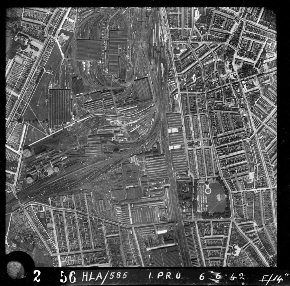
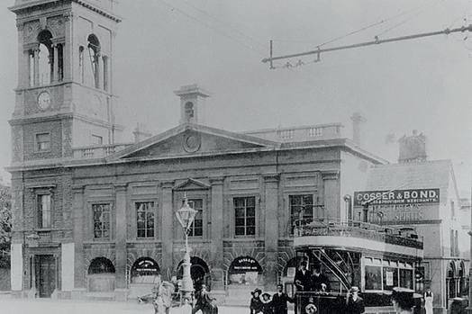
Historic England's new online Aerial Photograph Explorer tool includes many images of Swindon.
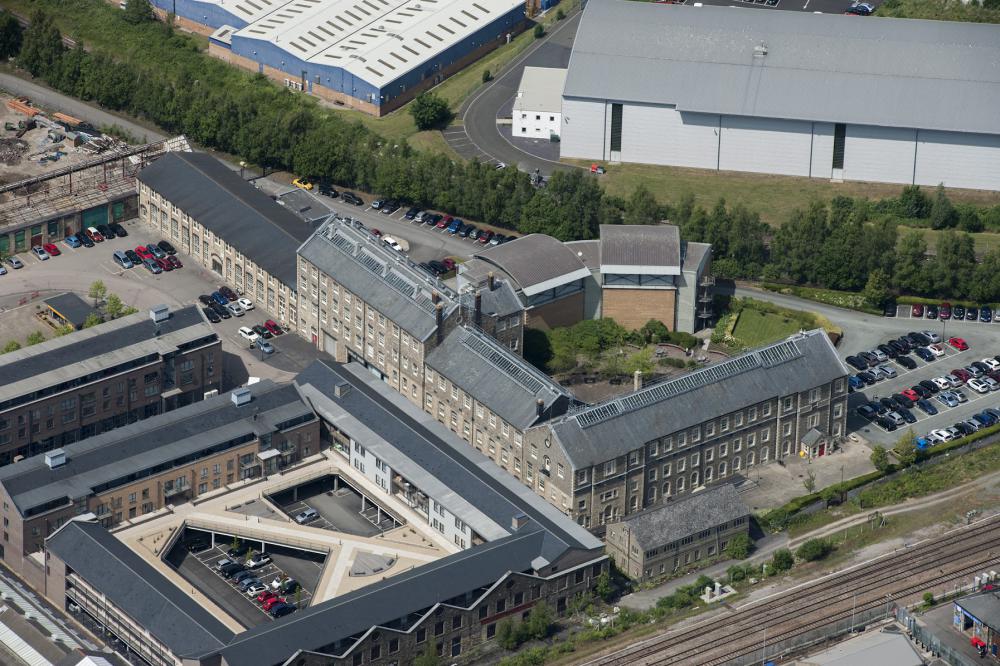
The new online archive includes this image from 2015 of the former Railway Works in its new incarnation as a shopping and business area
More than 400,000 images from 1919 to the present day have been added to the tool, covering nearly 30 percent of England, or about 15,000 square miles.
Areas in the South West featured include Wiltshire, Gloucestershire, Bristol, Bath, Somerset, Devon, Cornwall and the Isles of Scilly. The platform allows people immediate digital access to Historic England’s nationally important collection of aerial photographs.
Historic England Regional Director Rebecca Barrett said: “I am delighted that our new online tool will allow people to access easily our wonderful collection of aerial images and enjoy the historic photography that our team uses every day to unlock the mysteries of England’s past.”
The organisation says aerial imagery provides a fascinating insight into the development and expansion of the nation’s urban centres and changes to the rural landscape. It can also reveal striking discoveries - such as ‘cropmarks’ showing hidden archaeology beneath the surface.
Around 300,000 of the images are the work of Historic England’s Aerial Investigation and Mapping team. Established in 1967, the team takes photographs of England from the air to discover new archaeological sites, create archaeological maps and monitor the condition of historic sites across the country.
The remaining 100,000 images come from the Historic England Archive aerial photography collection, which numbers over two million images in total, and includes important historic photography, including interwar and post-war images from Aerofilms Ltd and The Royal Air Force.
Historic England hopes people will use the new tool to research their local areas, gaining insights into a century of changes and development. This will allow them potentially to make their own discoveries about their local areas. It will also provide industry professionals and local authorities with a useful resource to help planning, heritage projects and archaeological investigation.
Rebecca Barrett, Regional Director, Historic England said: “I am delighted that our new online tool will allow people to access easily our wonderful collection of aerial images and enjoy the historic photography that our team uses every day to unlock the mysteries of England’s past.”
Nigel Huddleston MP, Minister for Heritage said: "What better way to discover our shared history than through this fascinating new online tool which offers a bird's eye view of our past. I can't wait to discover more about my local area and encourage everyone to explore the thousands of English sites from the last century."
Over the coming years, Historic England aims to expand the platform, with more of the six million aerial images in Historic England Archive are digitised.
The Aerial Photography Explorer joins Historic England’s recently launched Aerial Archaeology Mapping Explorer to offer what is billed as an unparalleled insight into England’s archaeology and the nation’s development.
The platform is at https://HistoricEngland.org.uk/AerialPhotos


Your Comments
Be the first to comment on this article
Login or Register to post a comment on this article